Traveling for work can be dull. Drive to the airport, go through the security line, cram into a tiny coach seat, pick up your bland rental car, then head to your budget hotel. Blah blah blah. However, it looks as if a small Ford crew recently went on the ultimate work trip for off-roaders: driving a Bronco equipped with a Google Maps camera to put all 5,900-plus miles of the TransAmerica Trail (TAT) on Street View.
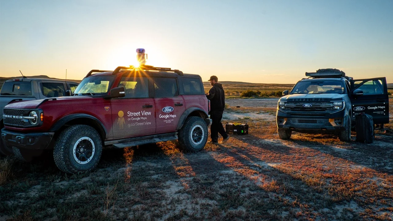
Starting on the Oregon coast, media marketing manager Alexis Beck and the rest of the TransAmerica Trail Ford Convoy Team loaded up their three adventure vehicles: a four-door Bronco Badlands with the Sasquatch Package and its 35-inch all-terrain tires plus other upgrades, a Ranger Lariat FX4, and an Expedition Tremor, the latter two of which served as support vehicles.
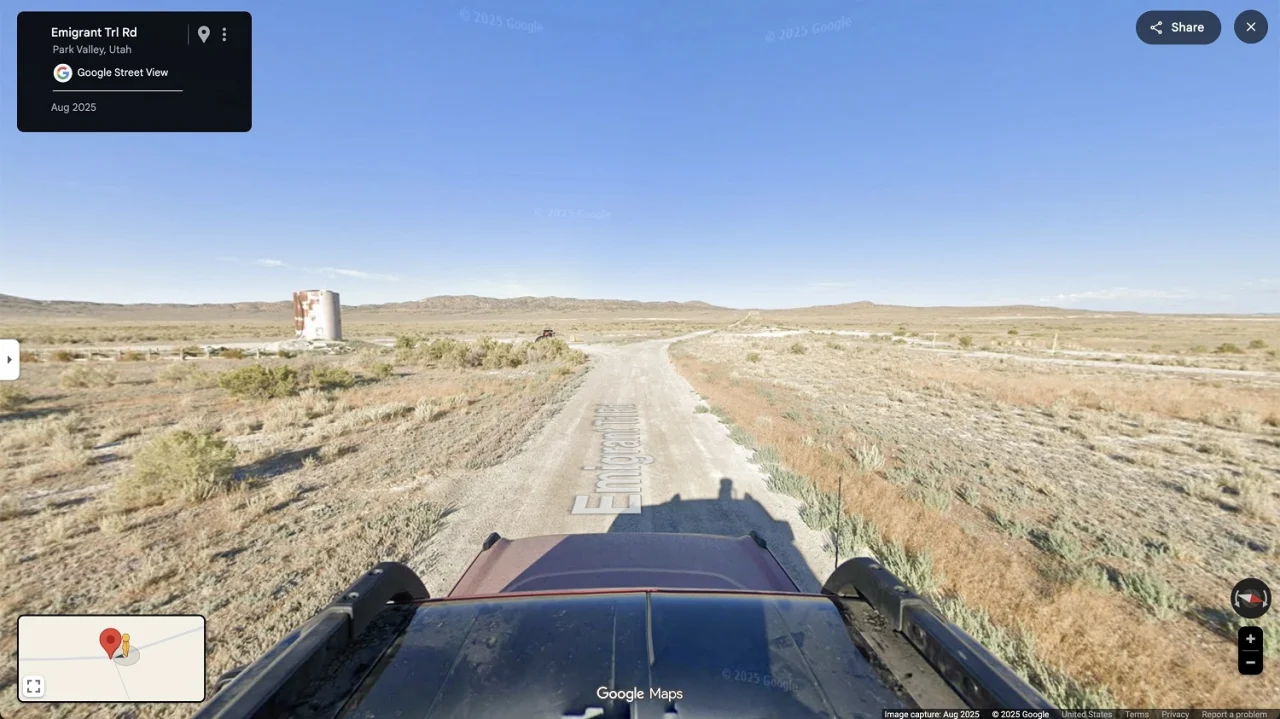
There were many stops on the journey to the ultimate destination of North Carolina, but that was just the endpoint, not the goal. The whole purpose of the trip was to make the TAT more visible to people so they can preview its various trails and better plan their own treks on it.
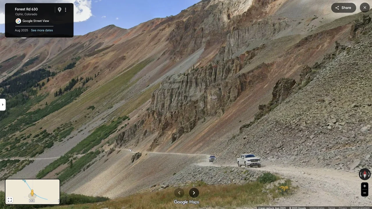
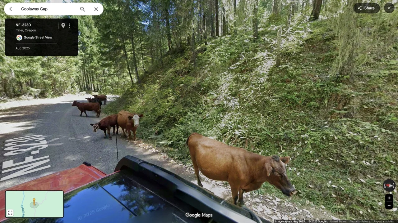
According to Beck, “Along the way, we camped, stayed at motels, cooked meals on the side of the road, and ate at charming small-town restaurants, all while following Tread Lightly! principles: always stay on the trail, and leave places as we found them.” Over the course of 32 days, Beck and her colleagues drove around and over obstacles, crossed the vast nothingness of the Great Salt Lake Desert, survived the dangerous ascent up the San Juan Mountains, and even gave Street View users an up-close look at cows that blocked their path.
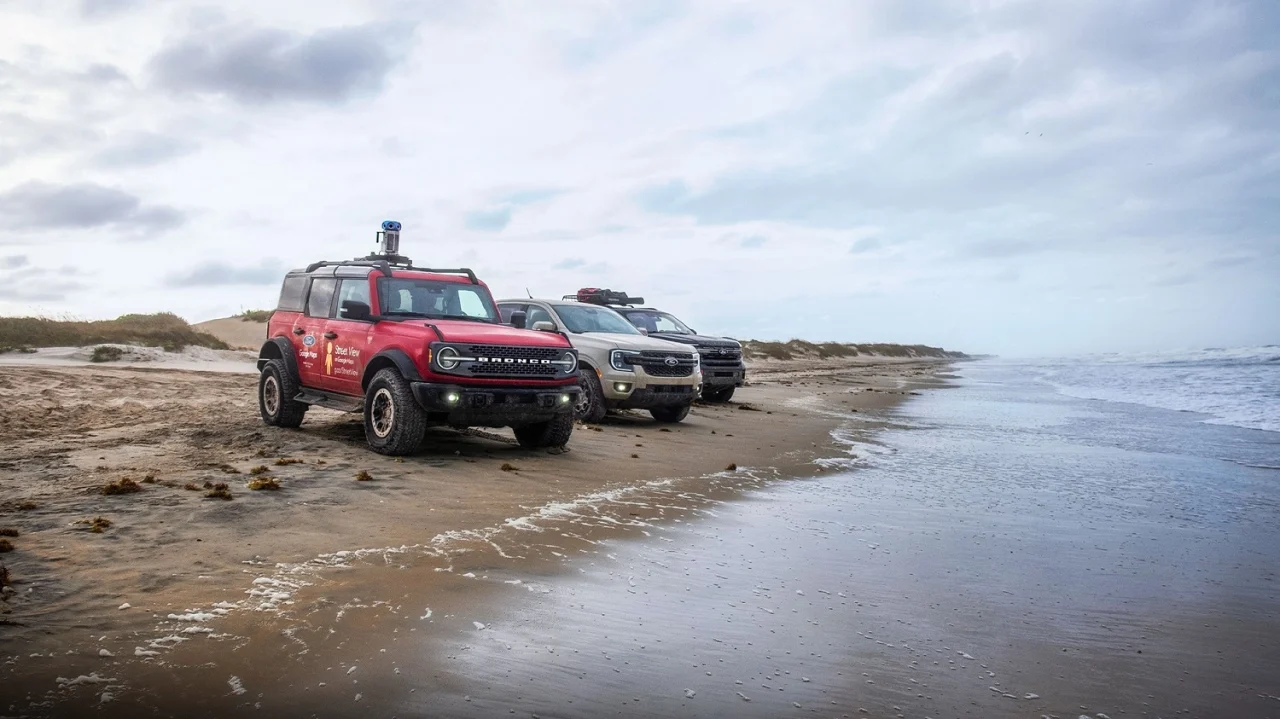
By the time Beck and her teammates arrived at the coast of North Carolina, they had traversed dirt, mud, rocks, and treacherous elevations across 13 states. In the process, they helped future adventurers know which hazards to look out for and point out the must-see spots in the long journey.
That sure beats powdered eggs and tiny pastries from a hotel breakfast buffet.

